Immanuel Kant
Kant's Königsberg · 1763 City Plan
Eight stations on the historical 1763 engraving — from the Castle and Kant's house to the Philosophers' Dam.
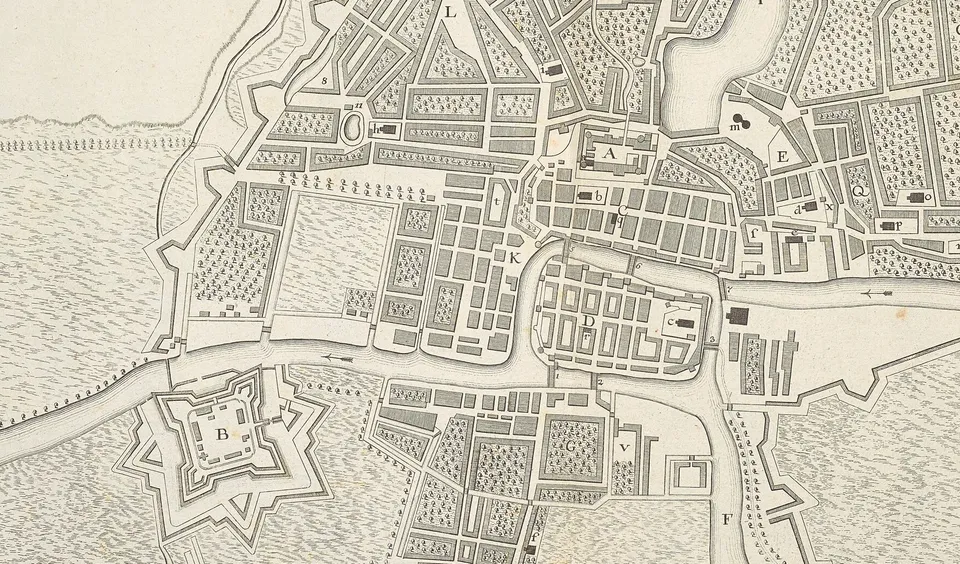
Map: “Plan Der Stadt Koenigsberg”, 1763 · CC0 · Wikimedia Commons
Interactive Königsberg Map by immanuel-kant.info