Immanuel Kant
Kants Königsberg · Stadtplan von 1763
Acht Stationen auf dem historischen Stich von 1763 — vom Schloss über Kants Wohnhaus bis zum Philosophendamm.
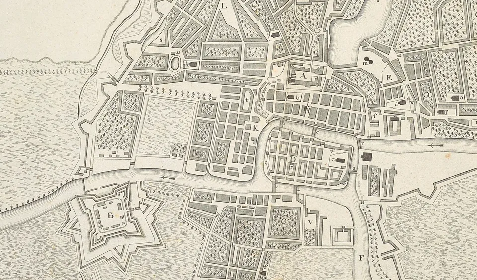
Karte: „Plan Der Stadt Koenigsberg“, 1763 · CC0 · Wikimedia Commons
Interaktive Königsberg-Karte von immanuel-kant.info